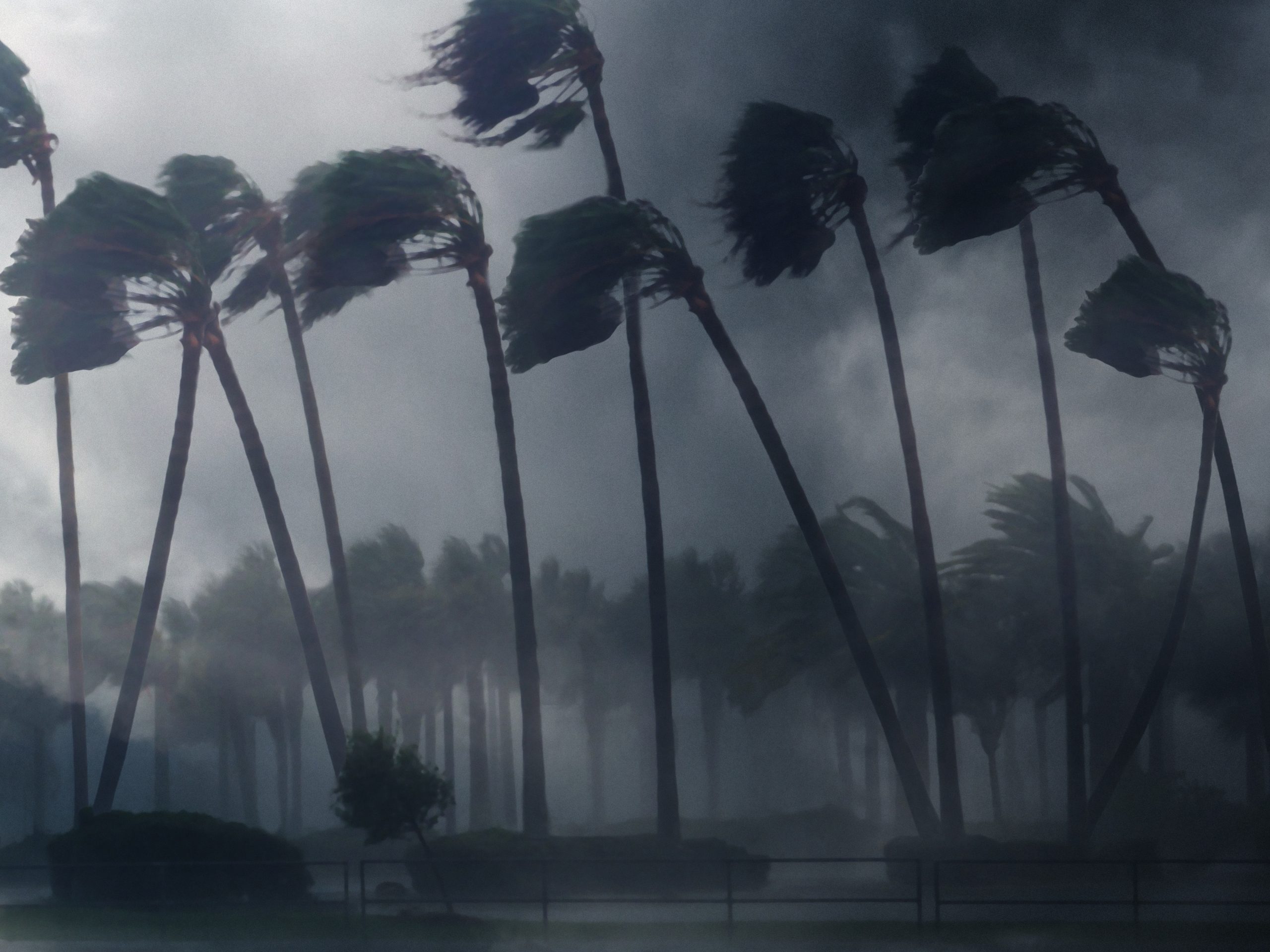
The Weather Prediction Center issued excessive rainfall risks beginning on Tuesday and lasting through Friday as the strongest atmospheric river – a large plume of moisture – that California and the Pacific north-west has seen this season bears down on the region.
The storm system is considered a “ bomb cyclone”, which occurs when a cyclone intensifies rapidly, knocking out power and downing trees across the region.
The areas involved
The areas that could see particularly severe rainfall will likely reach from the south of Portland, Oregon, to the north of the San Francisco area, said Richard Bann, a meteorologist with the National Weather Service Weather Prediction Center.
In south-western Oregon near the coast, 4 to 7in (10 to 18cm) of rain was predicted – with as much as 10in (25cm) possible in some areas – through late Thursday night and early Friday morning. In northern California, flood and high wind watches were in effect, with up to 8in (20cm) of rain predicted for parts of the San Francisco Bay Area, North Coast and Sacramento Valley. Washington could also see strong rainfall, but likely not as bad as Oregon and California.
The causes
The “bomb cyclone” is caused by air pressure quickly dropping off the coast, which has rapidly intensified the weather system. Beyond wind, rain and snow, the storm could also bring flash flooding, rock slides and debris flows as well as heavy mountain snow and blizzard conditions in areas of high elevation. The conditions of an atmospheric river combined with a bomb cyclone can create a major weather event.


Show Comments